

- Total Area : 761,610 sq mi
- Land Area:742,490 sq mi
- Water Area: 19,120 sq mi
- Mexico is one-fifth the size of the United States
- Countries that border Mexico are the United States, Belize, and Guatemala
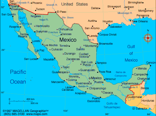
-Total distance of all land boundaries is 2,649 mi
-Total distance of
coastline is 5,800 mi
-Total distance of
coastline is 5,800 mi


|
Climate
Terrain
Elevation
|
